Mount Erymanthos is located in the Prefecture of Achaia, south of Patras.
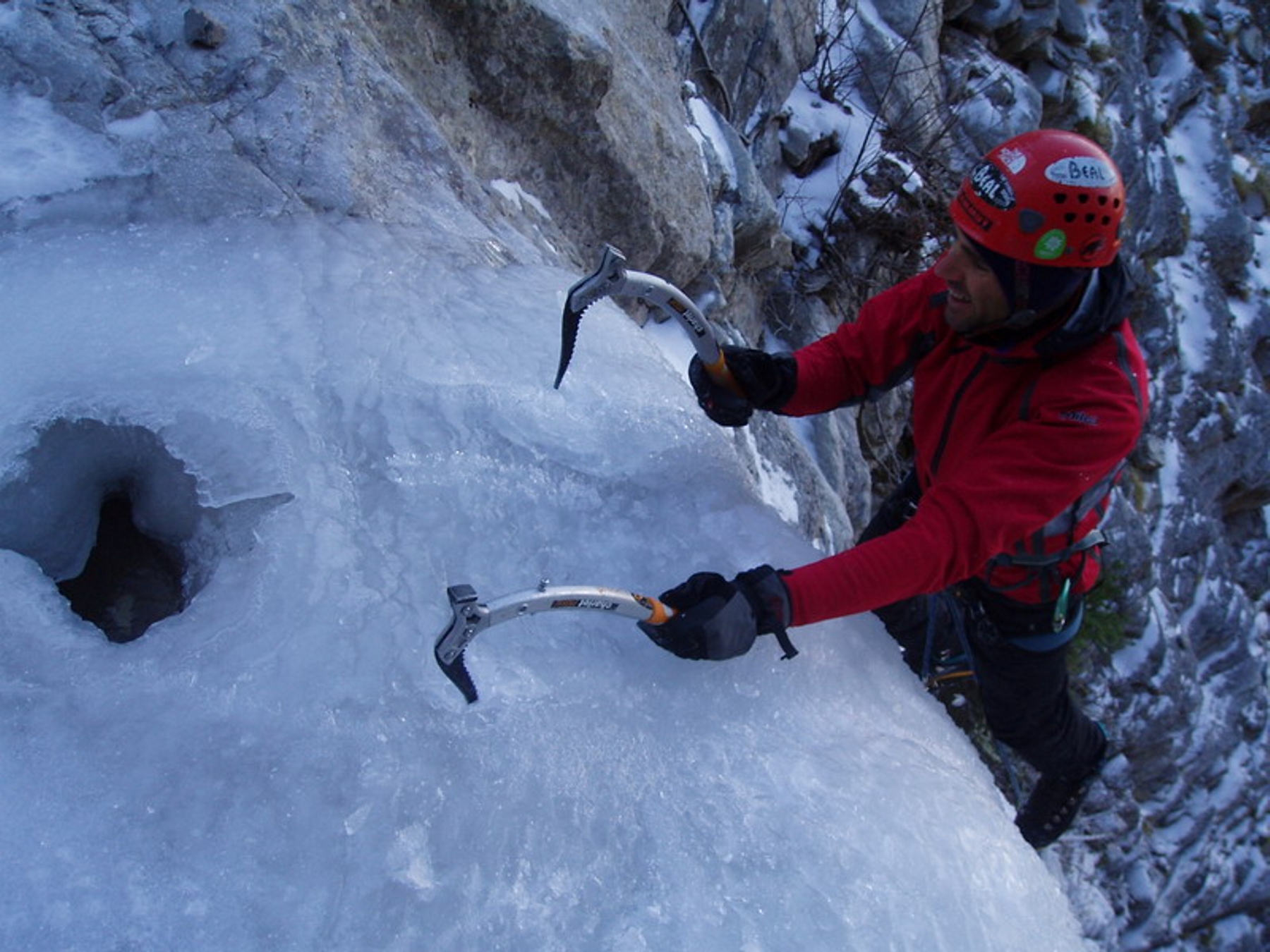
On its northern side, several winter routes have been established that are of particular interest, taking advantage of the Kakavos and Gkremistos waterfalls, which freeze in winter.
The Kakavos waterfall is located on the northwestern side of the mountain and access from Patras is by following the old national road to Tripoli, where after 35km we turn left towards Erymantheia and then left towards Spartia for 9km. Just before Spartia, a forest road (dirt road) turns off to the right that leads to the mountain. This road is only passable by 4x4 vehicle. At the end of the road there is an ideal spot for camping. From the campsite, access to the routes is by following a path to the east, parallel to the mountain slope for 1.5hrs. The longest route, the “Odyssey”, requires a 2hr walk. After completing a route, the return is made by following the ridge to the west, until the mountain slope becomes smooth. From there, a smooth ridge leads to the campsite in a total time of about 2hrs.
The Gkremistos (or Tsapournias) waterfall is located on the northeastern side of Erymanthos, above the settlements of Micha and Tsapournia. Between the two settlements, a dirt road leaves in a southwesterly direction, which leads to the waterfall after a 3,5km route through the fir trees. If the dirt road is closed by snow or is in poor condition, the walk is about 1,5hrs.